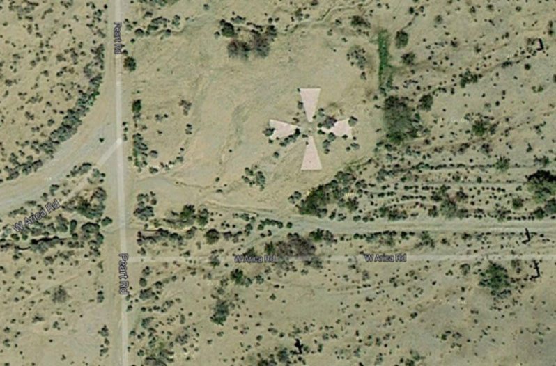
For years, giant Xs scattered throughout the Arizona desert remained a mystery. They aren't in flight charts, and until relatively recently, there was little mention of them. However, a story by the Arizona Republic sheds more light on their function as part of a secret government project.
Videos by Wide Open Country
The Xs remained a mystery for so long on purpose: throughout the '60s, they were part of a classified government project called CORONA.
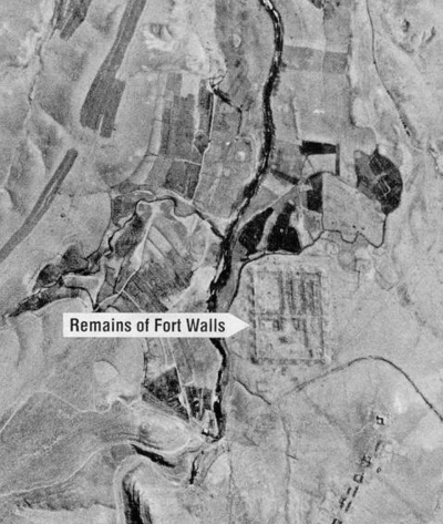
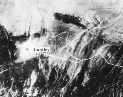
The U.S. set up CORONA during the Cold War as part of their satellite imaging attempts to spy on the Soviet Union and China. The satellite cameras at the time were of poor quality. So, those X's, arranged in a grid pattern, were used to calibrate the cameras.

via NRO
According to the CIA, "CORONA was created by a small group of CIA, Air Force and private industry experts who were tasked with finding a way to provide broad imagery coverage of the USSR to identify missile launch sites and production facilities."
"During its operational life, CORONA collected over 800,000 images in response to the national security requirements of the time. On average, individual images covered a geographic area on the Earth's surface of approximately 10x120 miles."
READ MORE: What's the Deal with the Marfa Lights in West Texas?

via NRO
Although they're not all there today, the X's are each 60 feet wide and one mile apart; the measurements are exact, so proper camera adjustments could be made. The implementation of the X grid greatly improved the photo quality.
In 1995, President Clinton released CORONA (and its sister programs ARGON and LANYARD) imagery to the public. It's one of the most extensive declassification projects in American history and sparked use of satellites for environmental studies.
You can find a detailed history of the CORONA Project at the National Reconnaissance Office.


